Detailed Meet and Course notes now posted: 2017 Goldrush USA SML Championships bulletin.
Day 1
Boise State University is one of the urban CTOC maps, and has undergone several revisions as the campus expanded and to bring it in line with current international sprint mapping conventions. Sergey Velichko revised the map in 2017.
Day 2-3
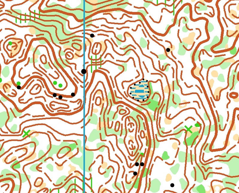
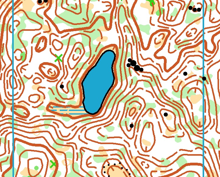
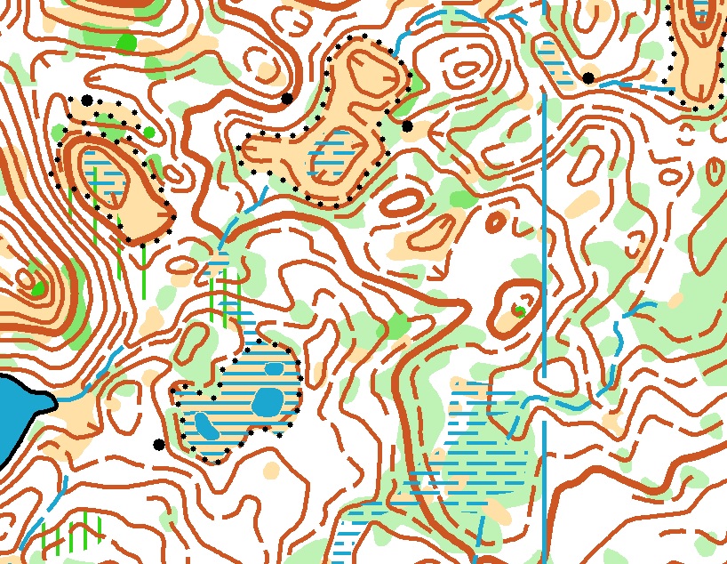
Trap Creek and Dutch Lake, nearly adjacent, both mapped in 2014 by Alexey Zuev.
For those new to orienteering, the maps are more detailed than a normal topographic map. A quick guide at the OUSA website can be found here.
Embargoed areas are below (in general this means no training with a map of any kind in these areas prior to the event, including coaches or supporters who may provide information to competitors):
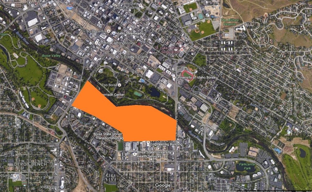
BSU map embargoed area, across the river from Julia Davis park.
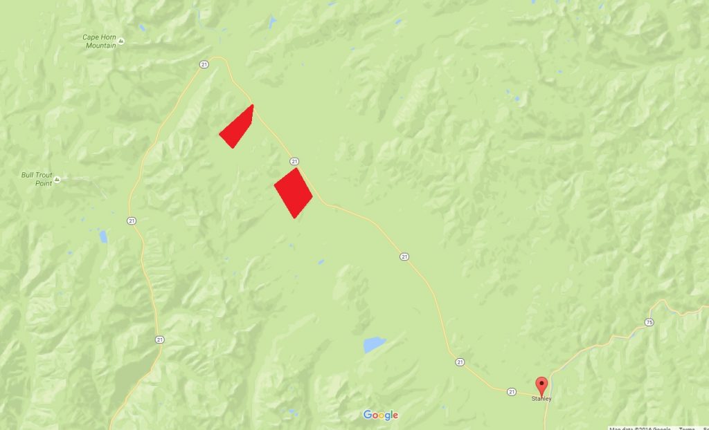
Dutch Lake and Trap Creek embargoed areas, 10 and 12 miles west of Stanley, ID.
Tentative Course Statistics (preliminary):
Brown Z courses are for M/F-70, 80, 90 classes.
Friday Sprint: 1:5000, 2.5m contours
| Course | Distance | Climb | Controls |
|---|---|---|---|
| Blue | 3.4km | 10m | 19 |
| Red | 3.0km | 17m | 17 |
| Green/Orange | 2.6km | 10m | 15 |
| Brown | 2.2km | 10m | 13 |
| Yellow/White | 1.7km | 10m | 15 |
Saturday Long: 1:10000 for M/F 21, M/F 20, all others 1:7500, 2.5m contours
| Course | Distance | Climb | Controls |
|---|---|---|---|
| Blue | 9.8km | 300m | 24 |
| Red | 8.1km | 250m | 19 |
| Green | 7.0km | 200m | 16 |
| Brown | 5.1km | 150m | 15 |
| Brown Z | 2.9km | 70m | 11 |
| Orange | 4.4km | 100m | 14 |
| Yellow | 2.7km | 50m | 10 |
| White | 2.3km | 50m | 11 |
There is limited cell coverage near Stanley, so some spots on the course may get a signal but it cannot be completely relied on.
Sunday Middle: 1:10000 for M/F 21, M/F 20, all others 1:7500, 2.5m contours
| Course | Distance | Climb | Controls |
|---|---|---|---|
| Blue | 3.5km | 100m | 16 |
| Red | 3.2km | 90m | 13 |
| Green | 2.8km | 80m | 13 |
| Brown | 2.2km | 70m | 12 |
| Brown Z | 1.7km | 50m | 12 |
| Orange | 3.0km | 30m | 10 |
| Yellow | 2.4km | 30m | 10 |
| White | 2.1km | 30m | 9 |